
Walk West Falls Church Streets by Address
Use the address trail in order. Fairfax County’s iCare record supplies the working parcel identity, while Jade shows where that parcel sits among the street, right-of-way, subdivisions, and adjoining land. A recorded deed then gives the legal description and parties at a particular recording date. Historic reverse directories add a separate, dated address-to-name clue. Each source answers a different question, so a match in one should not be treated as proof supplied by another.
For a broad street result, begin with the county’s address form rather than an owner name. Save the situs address and PIN from each result. The situs is the physical parcel location; the PIN is Fairfax’s parcel identifier. Those details help avoid mixing a similarly named street, a Falls Church postal address, or a parcel in a neighboring jurisdiction.
- Enter the address in Fairfax iCare, record the situs and PIN, then note any deed reference.
- Search the address or PIN in Fairfax Jade GIS and view parcel, address-point, subdivision, and right-of-way layers.
- Open the parcel report for ownership, assessment, physical-characteristic, and deed-reference fields.
- Use the Circuit Court land-record index, then the deed or plat, to check the legal description and transfer history.
- For an earlier snapshot, consult a dated criss-cross or community directory at the Virginia Room.
West Falls Church Street Directory Fields
The iCare address form is the clearest official route for a street-wide search. It accepts a number, unit, street, and suffix, but all of those fields are optional. Fairfax’s instructions show asterisks for partial street searches. Omit the suffix when a broad match is needed, then narrow results by PIN and situs instead of relying on the first mailing-address line.
| iCare field | Input | Street-search use |
|---|---|---|
| Number | Optional text | Enter a house number, or omit it for a broader street result where the form permits. |
| Unit# | Optional text | Use an apartment or suite when the address has one. |
| Street | Optional text | Enter the name or use * for a partial street search. |
| Suffix | Optional selector | Choose a suffix when known; omission can improve a broad search. |
| Sort and results/page | Controls | Use the current controls to review more than one parcel result. |
Fairfax iCare is the public assessment system used for this first pass.
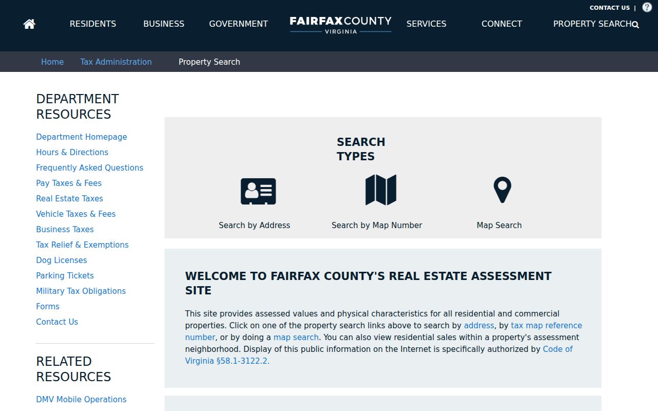
The screen is a search starting point, not a household list. iCare can show owner, mailing and situs addresses, PIN, tax district, assessment, physical characteristics, sales, and deed references. Owner names may be withheld from internet display on request, and the county says ownership, characteristics, and sales refresh twice weekly.
Map West Falls Church Street Parcels
Jade adds the geometry that a result list lacks. Global Search accepts an address, street, or location; Address Search combines house number, street-name autocomplete, and a type selector. It also supports PIN, intersection, subdivision, layer search, map selection, table view, export, and Buffer Options. A small map selection is better than a countywide export because the public Parcel REST service has a 2,000-record selection limit.
Start with one known parcel. Turn on Parcels, Address Points, Right of Way, Common Areas, and Subdivisions, then zoom to the result. A road strip or shared area can touch the parcel just as closely as another lot. The street directory uses the map to locate records, not to assume every nearby polygon is a household.
Jade’s official help page documents its search, report, export, and buffer controls.
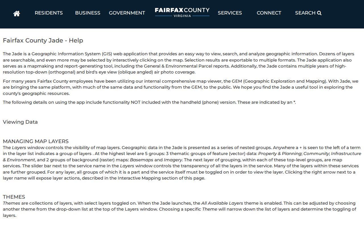
Once the bounded selection is in Table view, capture the PINs first. The parcel report and land-record index can then be checked one property at a time without turning a visual proximity search into an unsupported residence claim.
West Falls Church Street Address Terms
Address research goes wrong when a mailing label is treated as a legal location. Fairfax’s iCare sample for 7393 Route 29 pairs a Falls Church 22042 situs with an out-of-state corporate mailing address. Planning materials also list West Falls Station parcels with PINs but no assigned address. Preserve an old street spelling, route number, subdivision name, and legal description when a modern address search does not connect cleanly.
- Parcel
- A mapped piece of land identified in Fairfax records by a PIN.
- Situs address
- The physical location assigned to the parcel, distinct from the address used for tax correspondence.
- Plat
- A recorded map that can show lot lines, blocks, streets, easements, and subdivision information.
- Criss-cross directory
- A dated volume arranged by street address, often giving an occupant, business, telephone, or notation from its publication year.
Fairfax GIS announced an improved mobile-friendly Master Address Repository in July 2026. That helps with current normalization, but an older PIN or legal description can bridge to historic books and plans.
West Falls Church Street Records Compared
One address can lead to several public record sets, although their names and dates mean different things. The table separates property evidence, administrative activity, and historical snapshots. A permit applicant may be connected to a project without living there. A directory entry may describe a person or business at the date the book was issued. Deeds document parties to a transfer and legal boundaries, rather than current occupancy.
| Address record | Custodian | Useful fields | Access route |
|---|---|---|---|
| iCare assessment | Fairfax Department of Tax Administration | Owner, mailing and situs addresses, PIN, value, land use, sales, deed reference | Free web search, phone at 703-222-8234, office or records-request fallback |
| Jade parcel map | Fairfax GIS | Geometry, address points, right-of-way, zoning, reports, imagery | Free map, REST layers, bounded export |
| Recorded land records | Fairfax Circuit Court, CPAN, HRC | Grantor, grantee, instrument, book/page, recording date, legal description | Courthouse terminal, paid CPAN, certified copies, HRC for older books |
| PLUS and code records | Fairfax departments | Application, permit, inspection, enforcement date, public responsible-party fields | Public search, submission account, precise FOIA request for existing records |
| Reverse directories | Virginia Room and Arlington local history | Dated address-to-person, business, or phone snapshots | Library reference holdings, edition-dependent |
Virginia’s Citizen Portal is for a voter’s own status and is not a street-browsing tool. Controlled registration lists have statutory distribution limits. The practical by-street sequence remains parcel first, record type second, and a date beside every result.
Trace Deeds Along West Falls Church Streets
Use the PIN and deed reference from iCare or Jade to enter the land-record trail. Fairfax deeds begin in 1742. CPAN has index data from 1980 forward and index-book images from 1742 through 1979, while document images and older research routes are split among the courthouse and Historic Records Center. The grantor is the person transferring an interest; the grantee is the person receiving it. Their names must be read with the recording date and legal description.
The Fairfax Circuit Court research room and Historic Records Center are at 4110 Chain Bridge Road, Suite 317, Fairfax. Public land-record terminals are available weekdays from 8 to 4:30. Staff can explain the process but do not conduct research. CPAN is a paid remote option at $150 per user for application and $150 per user each quarter. Certified copies cost $2 per document plus $0.50 per page.
The Circuit Court certified-copy page describes the official copy route.
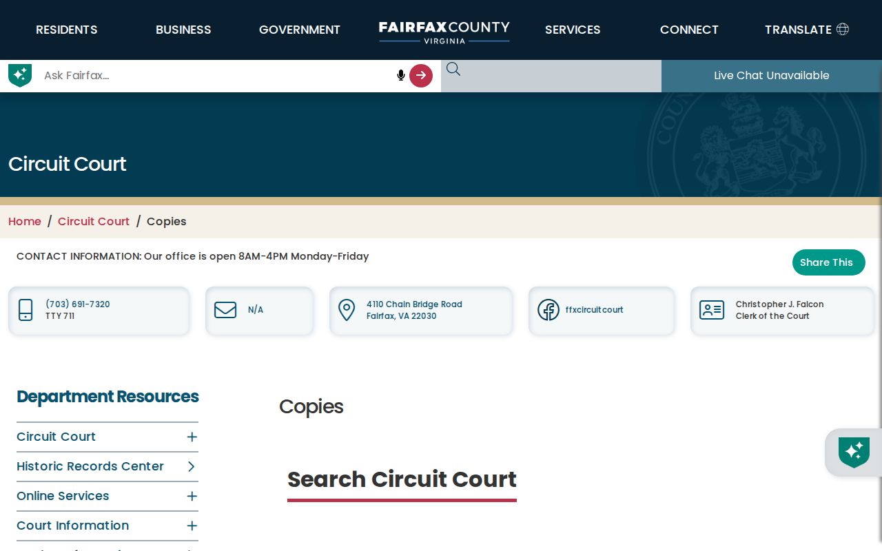
A certified copy verifies the court’s copy of a recorded document. It differs from an assessment screen, and a deed image is reached through the land-record path rather than as a free iCare image.
Historic West Falls Church Street Snapshots
Modern parcel tools do not replace old address books. The Virginia Room guide lists Hill’s Falls Church and Fairfax County criss-cross volumes for 1957, 1959, 1961, 1963, 1965, 1967, 1969, and 1971 through 1975. Those editions include Pimmit Hills, Seven Corners, and Lake Barcroft, so the edition’s geography must be checked. Haines Criss-Cross Northern Virginia, which includes Fairfax street addresses from the early 1970s onward, is held at Arlington Public Library’s Center for Local History rather than the Virginia Room.
Little Pathfinder street guides from 1957 and 1959, and Pat Murphy’s Little Pathfinder from 1974, help reconcile address and subdivision terminology. They are cross-checking aids, not current evidence. The historical volumes and their scope are described in the West Falls Church City Directory collection details.
Fairfax deed books and loose papers have real gaps. Civil War losses include many deed books from 1763 to 1819, so a failed early lookup is not proof that a person or transfer never existed. The Historic Records Center, library microform, and Library of Virginia are the next routes when an index stops.
West Falls Church Parcels Without Addresses
West Falls Church is a Fairfax County census-designated place, not an incorporated West Falls Church city. Falls Church can also be a postal label or refer to Falls Church City. West Falls Station planning records add another complication, listing some parcels by PIN while noting that they have no assigned address. A parcel ID can therefore be more stable than a street string.
Check the situs or PIN, county and city jurisdiction, ZIP, precinct, planning area, and subdivision before combining results. Postal ZIP and locality are useful filters but do not decide tax jurisdiction or legal parcel location. This is especially important near the Falls Church City boundary and in station-area planning records.
When West Falls Church Street Searches Fail
Try the online routes first, then use the keeper that holds the next missing piece. iCare and Jade cover current parcel work. The courthouse terminal, CPAN, and HRC cover deeds, plats, and older tax books. The Virginia Room, Arlington local-history collection, and Library of Virginia cover directories, maps, microform, and historic newspapers. Fairfax PLUS can supply public permit or code context, while a tightly framed county FOIA request can seek existing releasable administrative records.
A useful request names the exact situs address or PIN, street segment, record category, agency, date interval, and preferred existing format. Virginia FOIA generally requires a response within five working days. A timely delay notice can add up to seven work days, and charges cannot exceed actual cost. County FOIA contact is Molly Shannon, 703-324-7052, FOIA@fairfaxcounty.gov, 12000 Government Center Parkway, Suite 551, Fairfax, VA 22035.
Limits of a West Falls Church Street Directory
Property and map records can show ownership or parcel facts. A dated directory can show what its publisher printed at that time. Neither source is a complete, current household list. Private utility accounts, DMV address information, protected voter addresses, sealed court and vital records, and a complete list of everyone connected to a property are not available through this record chain. A mailing address can also belong to an owner or organization elsewhere.
Mark each result by source and date: owner found, deed party found, or historical directory entry found. Public records rarely confirm a current occupant. That small distinction protects both the accuracy of the search and the people behind the address.